the Creative Commons Attribution 3.0 License.
the Creative Commons Attribution 3.0 License.
A daily, 1 km resolution data set of downscaled Greenland ice sheet surface mass balance (1958–2015)
Willem Jan van de Berg
Horst Machguth
Stef Lhermitte
Ian Howat
Xavier Fettweis
Michiel R. van den Broeke
Related authors


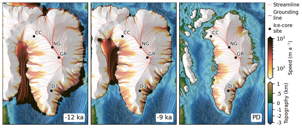
We studied the Holocene (past 11 700 years) to understand how the Greenland Ice Sheet has changed. Using 841 computer simulations, we tested different scenarios and matched them to historical ice elevation data, confirming our model's accuracy. Results show that Greenland's melting has raised sea levels by about 5.3 m since the Holocene began and by around 12 mm in just the past 500 years.

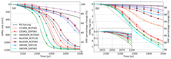


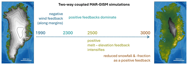
We studied the Holocene (past 11 700 years) to understand how the Greenland Ice Sheet has changed. Using 841 computer simulations, we tested different scenarios and matched them to historical ice elevation data, confirming our model's accuracy. Results show that Greenland's melting has raised sea levels by about 5.3 m since the Holocene began and by around 12 mm in just the past 500 years.
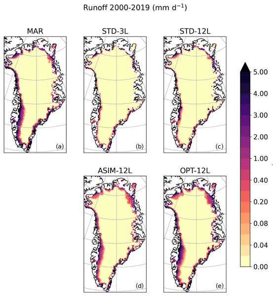
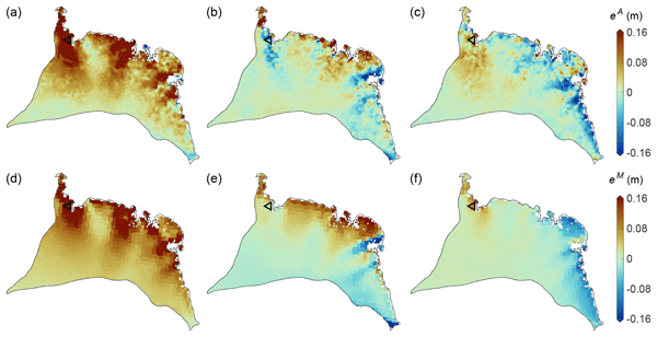
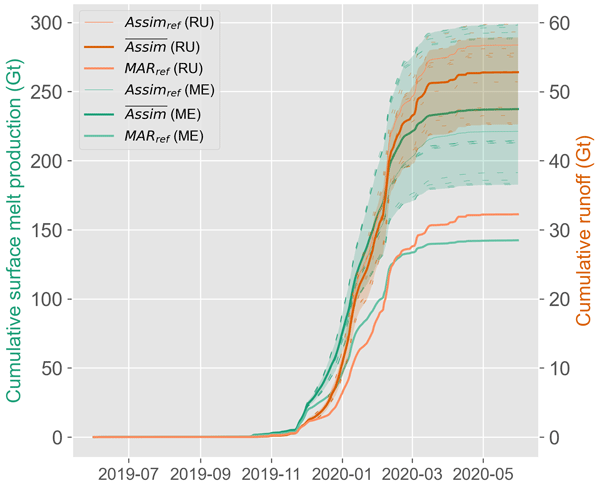
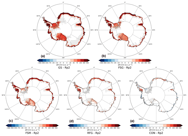
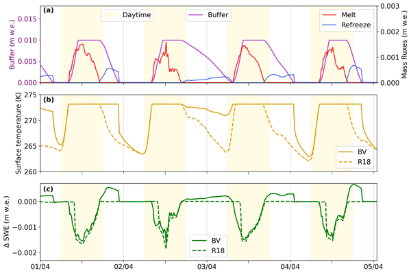
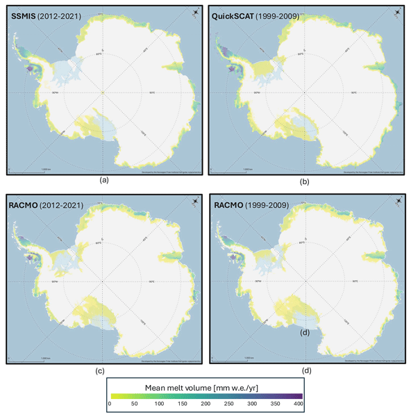
Modèle Atmosphérique Régional(MAR) to the assimilation of wet-snow occurrence estimated by remote sensing datasets. The assimilation is performed by nudging the MAR snowpack temperature. The data assimilation is performed over the Antarctic Peninsula for the 2019–2021 period. The results show an increase in the melt production (+66.7 %) and a decrease in surface mass balance (−4.5 %) of the model for the 2019–2020 melt season.