the Creative Commons Attribution 4.0 License.
the Creative Commons Attribution 4.0 License.
 | 05 Sep 2023
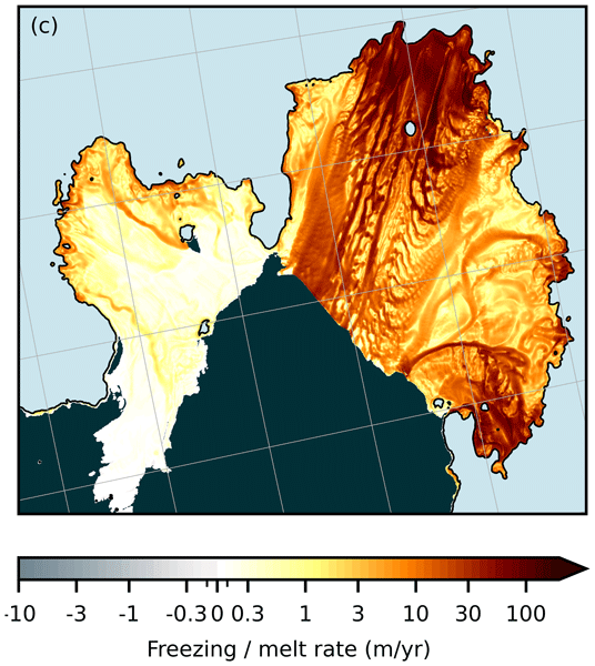
Unveiling spatial variability within the Dotson Melt Channel through high-resolution basal melt rates from the Reference Elevation Model of Antarctica
Ann-Sofie Priergaard Zinck
Bert Wouters
Erwin Lambert
Stef Lhermitte
Related authors
Tracking glacier change requires frequent and detailed measurements of their surface. We use machine learning to combine complementary satellite observations and produce glacier elevations every three months at 100 m resolution across the Canadian Arctic. The resulting elevations are substantially more accurate than the original satellite measurements and reveal detailed changes over time, including the evolution of glacier surges.

Tracking glacier change requires frequent and detailed measurements of their surface. We use machine learning to combine complementary satellite observations and produce glacier elevations every three months at 100 m resolution across the Canadian Arctic. The resulting elevations are substantially more accurate than the original satellite measurements and reveal detailed changes over time, including the evolution of glacier surges.